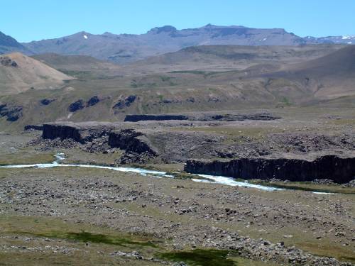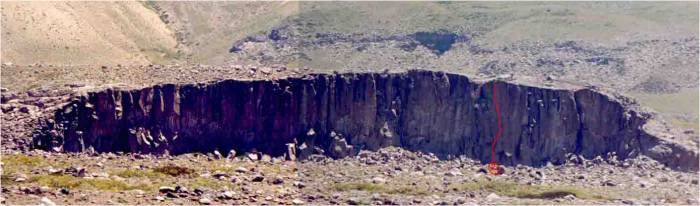
| Extended strata of dark volcanic rock make up
this beautiful, lonely place. The rock is dark basalt, hard and very closed.
Only one cliff some 200m broad is located on the road side of the river.
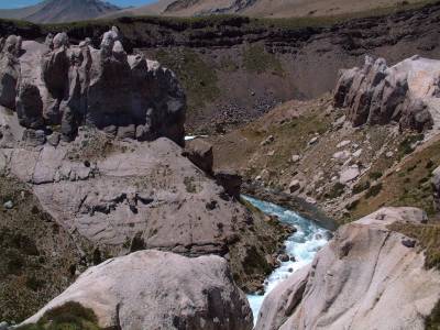
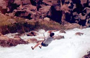
Unfortunately, a former brigde has been swept away and it seems hard to cross the strong white
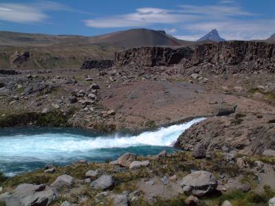
waters (see spanish text below). In any case, we examined the one cliff
next to the road and found some bolted routes. There is almost any crack, or
if so, very thin and covered with vegetation. Clean protection does not seem
to be available. Many hard face routes should be possible, but require
intense bolting. Laguna del Maule is also worth a visit.
|
|
| More details (Contribución
de Patricio Gana): Clima: Season all year except winter, altitude 2000m. There is no shadow in summer. Fishing is possible in the river. To cross the river: you have 3 ways:
|
|
|
see more photos, e.g. how to cross the river... |